Friday, October 26, 2007

Carmel Forrest - 2/17/07

My first bike trip after my crash (Nov '06) where i broke my right collarbone as a result of a miscalculated jump :-).  At any rate, it's back up north to the Carmel forests with bike buddy Roi and newcomer Doron Shevel.
It was our first time in this forest full of single trails so it took us a while to get acquainted with it and found our direction.  it was after a rainy week so it was a slippery slope and since it was my first time since, i must admit i was rather hesitant with the slippery/muddy trail so it wasn't full speed ahead along the trail.
It goes without saying the the view was panoramic at some points with this side of the forest facing west towards the sea.

Click on "Play".

BubbleShare: Share photos - Thanksgivingtime!

Blogged with Flock

Sunday, October 15, 2006

Cross Golan - 13-14/10/06

DAY - 1 (13/10/06 )
Starting point: Neve Ativ (נווה אטי"ב)
End point: Katzrin (קצרין)
Riders: 9
Length: 63Kms.
Time: hrs.

07:30 - After breakfast and registrations, we started off the days biking with a 25km ride through the panorama of the Hermon and North Golan. Passing by apple orchards and colorful Druze villages which most of us I’m sure didn't notice as we tried not to pass out from the steep uphill we had to climb. We then continued south through wooded terrain towards kibbutz Ortal for lunch. From there it was another 25kms of the best part of the day. An amazing ride on dusty tank trails with downhill slope facing a lovely panoramic sunset as we entered into Katzrin.

DAY - 2 (14/10/06)
Starting point: Katzrin (קצרין)
End point: Luna Gal (לונה גל)
Length: 50Kms.
Time: hrs.

06:30 - We started the day with a gentle ascent eastward crossing Nahal Zavitan on a dirt road passing fields of Irises. We then stopped at the TAPS pipeline for breakfast. After a brief break we continued South on a downhill trail crossing most of the streams of Central Golan most of which were shallow. We rode next to large water reservoirs in the area and finished the day with a steep and exhilarating downhill ride along the Western slopes of the Golan facing a panoramic view of the Galil, Kinneret and Jordan valley arriving at the Luna Gal for lunch and a dip in the pool.


Enjoy the pics!


בוקר טוב אדון גוטה


Here's how Oded summarizes the first leg of the first day of the bike trip.


Tuesday, September 19, 2006

Diving Eilat - 15-16/9/06

After 6 years of postponing my dive adventures, I finally made some phone calls with my classmate from Uni (Dudi) and made arrangements to go diving in Eilat. Booked me a refresher dive course (though they say diving is like riding a bike), got me place to stay and bus tickets for the ride to and back from Eilat.

Do yourself a favor... Don't take a bus to Eilat!!! 6 yrs ago, being crammed in tight seats with noisy 18 yr olds didn't seem that bad if not tolerable. But after flying the last 4 times I’ve been to Eilat, don't torture yourself by taking the bus! Fly or find friends to drive with. Trust me.

Click on "Play".


I must say, after two days of just diving and chilling under the sun between dives, i can get used to doing this every couple months. I will however need a thicker wetsuit for winter diving if I want to enjoy diving in the relative cold waters during that season.

To sum up this trip, it was more of a re-acquaintance of the experience of diving and getting a feel for my equipment which I bought 5 years ago but only tested it now. Hopefully I’ll going to more dive trips which will be documented thoroughly with more underwater pics. Till then hope you enjoyed these for now.
Tuesday, September 12, 2006

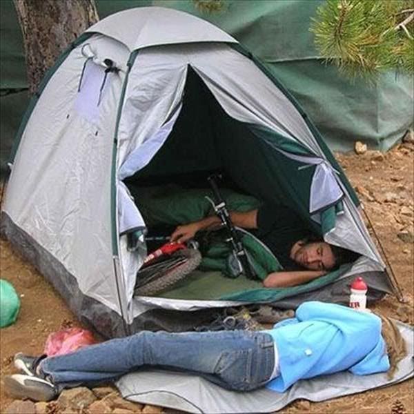
Priorities

This guy has set his priorities straight!

Friday, July 21, 2006

Nahal Nataf - Yitleh

Date: 16-6-06

Sha'ar Ha-Gai - Mevo Horon - Ein Nataf - Nataf - Nahal Yitleh - Sha'ar Ha-Gai

Starting point: Sha'ar Ha-Gai (שאר הגאי)
End point: Sha'ar Ha-Gai (שאר הגיא)
Riders: 3
Length: 30Kms.
Time: 5 hrs. (including breaks)


How to get there: Paz gas station at the Sha'ar Ha-Gai junction. if you're coming from Tel-Aviv, make a U-turn at the next junction (Shoresh) going back to T"A.


Trail: We parked our car in the gas station at the Sha'ar Ha-Gai junction. We began our trip by exiting the gas station turning right towards the entrance of the black trail heading North and following the trail along the Eastern boundary of Park Canada. it then continued to steady climb until we crossed the peak then it was a moderately steep winding downhill ride towards Mevo Horon until we hit the T with the blue trail pretty close to the rear entrance of Mevo Horon and a lake in front of it. we amused ourselves with the local four-legged milk-bearing folk there then continued East on the blue trail passing ploughed fields and gate passing by a fork deciding on taking the right one since it was headed into a Nahal. we however had to make a stop due to chain issues with Aviad's bike and luckily found enough man power (21K riders) to yank the chain free, also we discovered that we were in the wrong Nahal and had to double back to the fork and take the left route into Nahal Nataf.

Our general direction was still east crossing the stream-bed a couple time which made it a somewhat technical ride due to the meduim sized rocks on the bed that my tires couldn't get a grip on and would just slip. we continued on to a gradual uphill with some parts that you just had to go on foot... well at least i had to. we reached a junction that gave us an option to visit a spring called Ein Nataf which is right next to a big fig tree that you can't miss but we decided to go on following the red trail up towards the rear entrance of Nataf which also a pretty steep climb. once in Nataf we got a nice view of Har Ru'ach and also a pit-stop for a late breakfast at the main entrance of the yishuv.

After the break we continued on the road 4kms uphill (not more) till you reach a hard right off-road into the black trail. From here was an amazing downhill ride alongside Nahal Yitleh, crossing it then the trail splits either continuing downhill along Nahal Yitleh or hard left heading South uphill onto the blue trail . we obviously followed the blue trail since for every uphill.... there's a downhill.... this uphill though was steeper than the others, and we ended up trekking up half the climb with a 15 mins break in the middle as i suddenly had the munchies. the blue trail then meets up with the red trail at the top of the hill onto which we turned right heading West on the new trail. and as promised... the climb was not done in vain as we were rewarded with a technical downhill passing a Ministry of Defence sign post then an electric station through some ancient Roman stones and finally to another T which intersects with the black trail that we initially started on with a uphill however this time we turned left heading South back to the Paz gas station at Sha'ar Ha-Gai and back to our cars.

All in all it was a great ride and we were fortunate with the weather as it there was an overcast that kept the sun away from us however, i still ended up with nasty tan lines. mental note: apply sun-block on next trip.

Click on "Play".

This album is powered byBubbleShare

Sunday, June 18, 2006

Judean Desert

Date: 16-6-06

Mitzpeh Yericho - Nebeh Musa - Beka'at Hurkanya - Metzok Ha-Eytim - Red trail - Metzukat Dragot

Starting point: Mitzpeh Yericho (מצפה יריחו)
End point: Metzukeh Dragot Junction (מצוקת דרגות)
Riders: 4
Length: 35Kms.
Time: 7 hrs. (including breaks)


This album is powered byBubbleShare